Altisenda
Altitude, Trails & POIs
About Altisenda
Altisenda is a distraction-free altitude, trail, and POI companion built for road trips, overlanding, and camping adventures.
See your current altitude at a glance, save places instantly — even while driving — with Siri, and record your routes on a live satellite map. Free. Private. No account required.
See it in action
Swipe through a few glimpses of Altisenda on iPhone.
Features
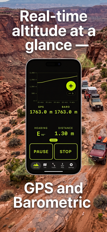
- Real-time altitude at a glance — Two independent sources (GPS + barometric), displayed in large, bright-green digits on a pure-black background. Readable from a phone mount while driving.
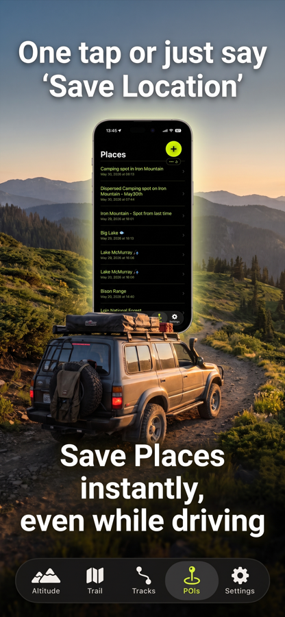
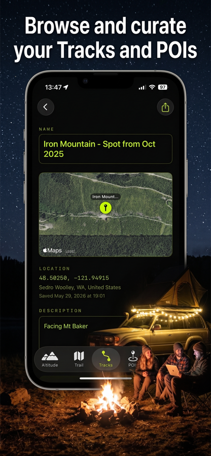
- Save places instantly — even while driving — Tap the floating Save button from any screen, or just say "Save Location" with Siri. Names and addresses fill in automatically via reverse geocoding.
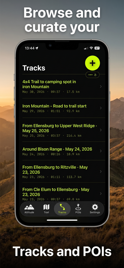
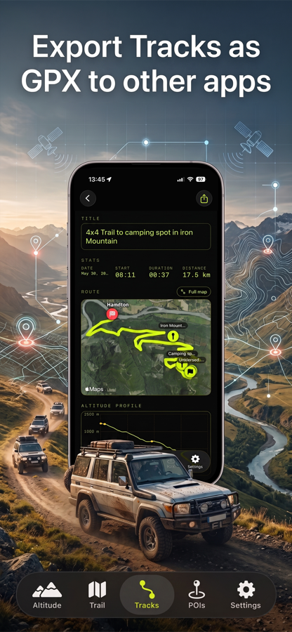
- Record & share tracks — Record GPS breadcrumb trails on a satellite map. Every track includes a route map, altitude profile, duration, and distance. Export as standard GPX to share with Strava, Garmin, Komoot, Google Earth, and more.
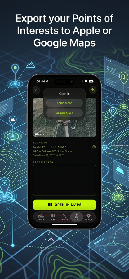
- Share POIs easily — Open any saved place in Apple Maps or Google Maps with one tap. Copy coordinates to share however you like.
- Private & free — No accounts. No sign-ups. No data ever leaves your device. No ads. No subscriptions.
Support
Have a question, bug report, or feature request? I'd love to hear from you.
Contact
support@altisenda.comFrequently asked questions
Does Altisenda need an internet connection?
Core features — altitude display, POI saving, and track recording — work fully offline. Map tiles and reverse geocoding (auto address lookup) require an internet connection.
How does hands-free saving with Siri work?
Altisenda registers a Siri phrase out of the box: just say "Hey Siri, Save Location in Altisenda" and a pin is dropped at your current coordinates. You can rename or add notes later.
Prefer to skip the app name? Install the free "Save Location" Shortcut (also available from Settings → Siri inside the app). Once added, just say "Hey Siri, Save Location."
Can I export my tracks?
Yes. Every recorded track can be exported as a standard GPX file, compatible with Strava, Garmin Connect, Komoot, Google Earth, and virtually every mapping app.
Does Altisenda collect my data?
No. Altisenda does not use accounts, does not send location data anywhere, and does not include analytics or ads. Your places and tracks stay on your device.
Which units are supported?
Metric (meters, kilometers) and imperial (feet, miles). You can switch anytime in Settings.
Privacy
Altisenda is designed to be private by default:
- No user accounts or sign-ups.
- No analytics, tracking, or third-party SDKs.
- Your saved places and recorded tracks live on your device.
- Reverse geocoding requests use Apple's built-in service and are not linked to you.